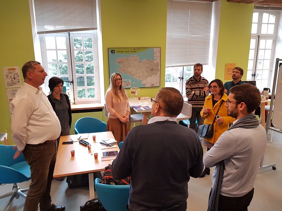
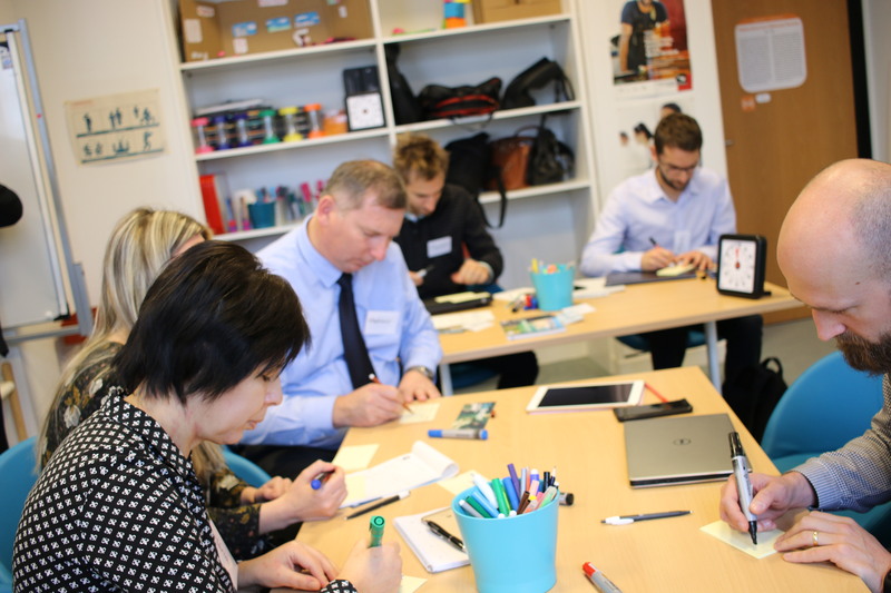
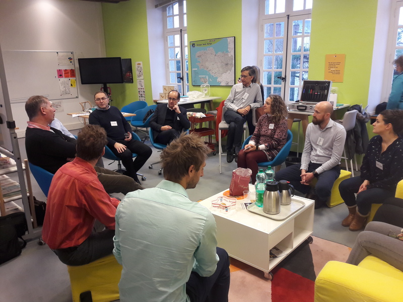
En décembre 2018, GéoBretagne a accueilli au sein du laboratoire régional d’innovation publique, Ti Lab une délégation slovaque de la Région de Prešov (PSK). Cette visite d'études s'inscrivait dans le cadre de l'initiative "Catching Up Region" et du programme TAIEX (Technical Assistance and Information Exchange Instrument) de la Commission européenne. La Banque mondiale étant en assistance technique.
Objectif
L'objectif principal de la visite d'étude pour la région autonome de Prešov était d'échanger sur la création et la coordination d'une infrastructure régionale de données spatiales dans le contexte de l'Union européenne. Le choix étant porté sur une solution opensource.
Programme
- Jour 1 :
- tour du laboratoire régional d’innovation publique, Ti lab tour et présentations avec brise-glac
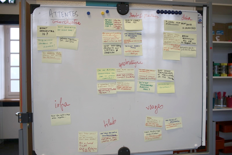
- atelier : quelles sont les attentes des participant·e·s à cette visite ?
- GéoBretagne : tour guidé, questions-réponses
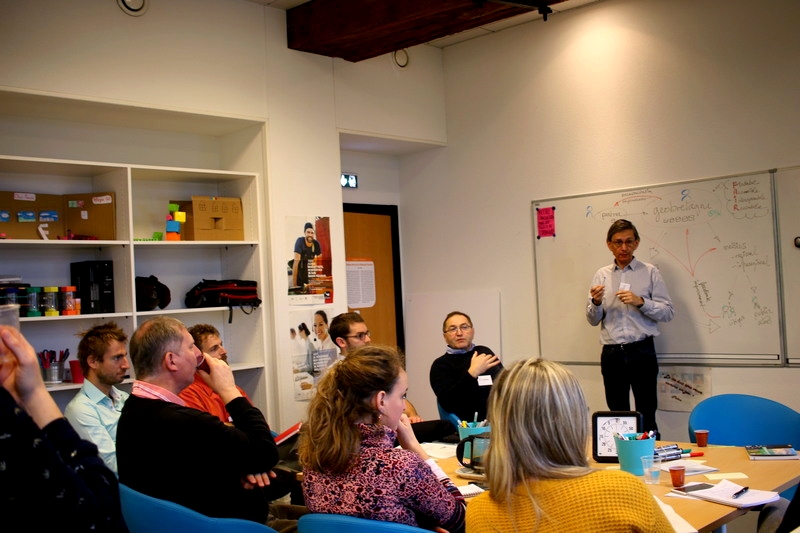
- Prešov: prospective et challenges
- bilan de la 1ère journée avec ses réussites et échecs - préparation du 2ème jour en format atelier de design
- Jour 2
- GeoBretagne, more than 10 years of experience
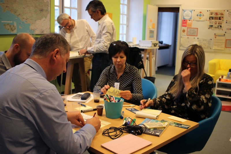
- atelier de design sur la donnée, partenariat, services et applications
- geOrchestra : les fondamentaux et futur
- les tendances en matière de SDI, de SIG et de données ouvertes
- Jour 3
- OpenDRI
- Schéma régional d'aménagement, de développement durable et d'égalité des territoires (SRADDET) - Breizh Cop
- Common future projects and thematics
Bilan
Cette visite d'étude a également été l'occasion de discuter de collaborations potentielles et de défis communs entre les régions de Bretagne et de Prešov en matière de gestion des données localisées. Elle a permis d'illustrer :
- les aspects techniques et institutionnels d'une infrastructure régionale de données spatiales
- le rôle prépondérant des administrat·eur·rice.s de données de la plateforme
- la prédominance des partenariats entre les institutions locales, régionales et nationales
- l'encapacitation des partenaires
- l'approche centrée utilisat·eur·rice
- la co-conception de services et d'applications.
Quelles suites ?
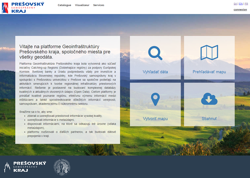
Une coopération a été entérinée en début d'année entre l'université et la Région de Prešov (PSK) pour la création d'un géoportail basée sur des données ouvertes (article en slovaque) et la création d'une division de l'information spatiale.
Miloslav Michalko, assistant de recherche en géographie et SIG à l'Université de Prešov et consultant pour la région de Prešov nous résume les travaux depuis la visite d'études :
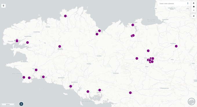
"Une instance geOrchestra est en cours de test au niveau de l'université de Prešov avec une quinzaine de données publiées. Nous essayons de développer deux ou trois applications de cartes dynamiques (basées sur le visualiseur thématique / mviewer) avec des données statistiques".
"Ce que nous voudrions approfondir davantage, avec des fonds européens, ce sont des outils participatifs dans Mapfishapp qui permettrait aux utilisateurs non spécialistes, principalement dans les services, d’éditer directement certaines données. Et aussi s'appuyer sur la recherche d'adresse basée sur OpenStreetMap". De possibles sujets de coopération avec GéoBretagne et la communauté geOrchestra !
A suivre...
--------------------------------------------------------------------------------------------------------------------------------------------------------------------------------------------------------------------------------------------------------
Last December, GeoBritain welcomed a Slovak delegation from the Prešov Region (PSK) to the regional laboratory for public innovation, Ti Lab. This study visit was part of the Catching Up Region initiative and the European Commission's TAIEX (Technical Assistance and Information Exchange Instrument) programme. The World Bank is providing technical assistance.
Goal
The main objective of the study visit for the Prešov Autonomous Region was to exchange views on the creation and coordination of a regional spatial data infrastructure in the context of the European Union. The choice being made for an open source solution.
Program
- Day 1 :
- tour of the regional public innovation laboratory, Ti lab tour and icebreaker
- workshop: what are the expectations of the participants ?
- GeoBretagne: guided tour, questions and answers
- Prešov : foresight and challenges
- review of the day : successes and failures
- Day 2
- GeoBretagne, more than 10 years of experience
- data design workshop, partnership, services and applications
- geOrchestra : fundamentals and future
- trends in SDI, GIS and open data
- Day 3
- OpenDRI
- Regional scheme of planning, sustainable development and territorial equality (SRADDET) - Breizh Cop
- Common future projects and themes
Report
This study visit was also an opportunity to discuss potential collaborations and common challenges between the regions of Brittany and Prešov in the management of localized data. It was used to illustrate :- technical and institutional aspects of a regional spatial data infrastructure
- leading role of the database administrators of the platform
- predominance of partnerships between local, regional and national institutions
- encapacitation of partners
- user centric approach
- services and applications co-design.
What next ?
A cooperation was signed at the beginning of the year between the university and the Prešov Region (PSK) for the creation of a geoportal based on open data (article in Slovak) and the creation of a Division of spatial information.
Miloslav Michalko, research assistant in Geography and GIS at the University of Prešov and consultant for the Prešov region, summarizes the work since the study visit:
"A geOrchestra instance is being tested at the University of Prešov with about fifteen published data, and we are trying to develop two or three dynamic map applications (based on the thematic viewer / mviewer) with statistical data".
"What we would like to explore further, with European funds, are participatory tools in Mapfishapp that would allow non-specialist users, mainly in the services, to edit some data directly. And also rely on the address search based on OpenStreetMap". Possible topics for cooperation with GeoBritain and the geOrchestra community!
To be continued...


